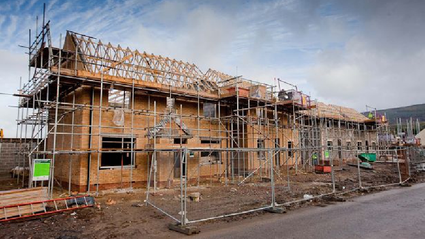
Five new areas of housing – including on part of a school playing field – have been identified in a wide-ranging planning consultation in the Stantonbury area of Milton Keynes.
But any comments will have to be made quickly as the period for making comments, which started on January 25, is set to come to an end on Friday, March 8.
The Stantonbury Neighbourhood Plan has been created by Stantonbury Parish Council and covers Bancroft, Bancroft Park, Blue Bridge, Linford Wood, Bradville, Oakridge Park, as well as Stantonbury.
If it is passed at a referendum of the area’s 16,400 residents later this year it will set the blueprint for planning applications until 2031. The parish council says it has taken a positive approach to development “in response to a
local desire to make the best use of available land.”
Cllr Graham Davison, who chairs the parish council, says the council is: “100 per cent committed to the contents of this plan and we commend it to all residents.
“We hope that you will also enthusiastically support your plan by a superb turnout at the ballot box when the referendum occurs in 2019.”
The plan proposes 20 policies, covering such topics as parking, community facilities and the use of open spaces. It also sets out the council’s view on the pending MK Council regeneration of North Bradville.
The areas proposed to take housing are:
Mathiesen Road: 0.2 hectares of open space owned by the Milton Keynes Development Partnership on the corner of Mathiesen Road with Bradwell Road, has been identified as the potential plot for seven new homes.
Wylie/Harrowden: 1.6hectares of amenity land and open field. Stantonbury Parish Council wants to see land sold off to pay for community facilities in the patch.
Stanton School: The school has identified an area of the field and orchard
which is surplus to current requirements. In total some 1.25 hectares of school grounds and amenity land has been spotlighted.
Stantonbury Campus: The parish council supports residential development within the campus where housing does not exceed 35 dwellings per hectare and also the development of bungalows.
Rowle Close garages: A 3.77 hectare site of former garage blocks to the rear of Rowle Close, Ormonde, Crosslands and Redbridge, which have been in “serious decline over many years, with the area being a hotspot for fly-tipping, vandalism and drug dealing.” The land has been identified as a plot that could take 66 new dwellings.


